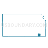
Cherryvale Ward 1, Montgomery County, Kansas
About
Outline

Summary
| Unique Area Identifier | 585991 |
| Name | Cherryvale Ward 1 |
| County | Montgomery County |
| State | Kansas |
| Area (square miles) | 0.83 |
| Land Area (square miles) | 0.81 |
| Water Area (square miles) | 0.02 |
| % of Land Area | 97.28 |
| % of Water Area | 2.72 |
| Latitude of the Internal Point | 37.26559480 |
| Longtitude of the Internal Point | -95.54529380 |
Maps


Graphs
Select a template below for downloading or customizing gragh for Cherryvale Ward 1, Montgomery County, Kansas